Last Updated on Thursday, 18 June 2020, 11:38 by Denis Chabrol

The Civil Defence Commission (CDC) says it has mobilized resources, and is on standby to offer support to three administrative regions including Region Nine (Upper-Takutu-Upper Essequibo).
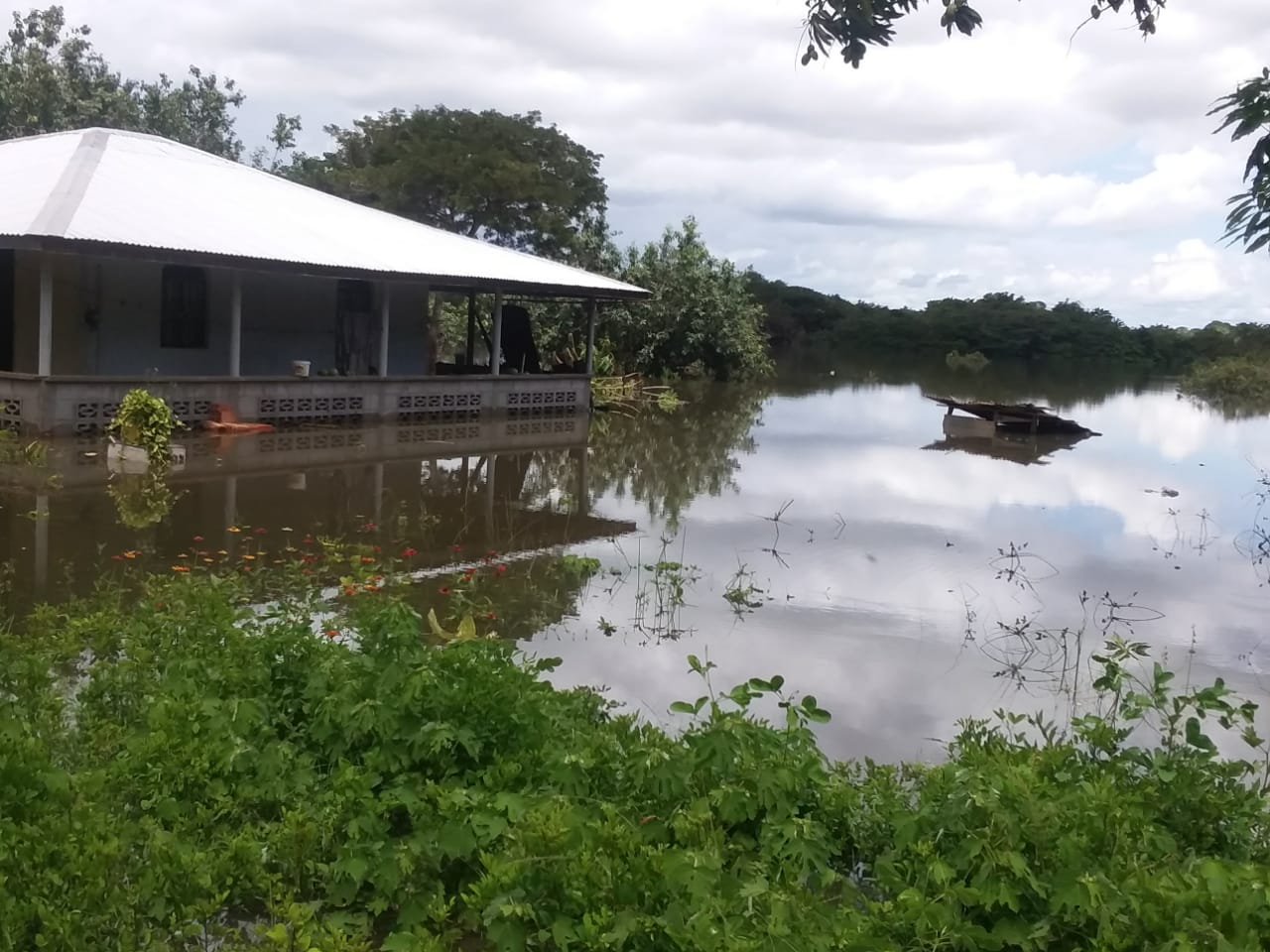
The flood has been caused by heavy rainfall over the past few days.
The emergency response agency says at this time, Region Nine is the most severely affected with flooding in several communities.
The CDC says several other villages are on the watch list for possible evacuation.
The other flood-affected regions are Mahaica-Berbice (Region Five) and East Berbice- Corentyne (Region Six).
Town Clerk of Lethem, Ms. Keisha Vincent says the level of the Takutu River is rapidly increasing and has covered the bridge between Lethem and the Tabatinga Housing Scheme. She notes that flood waters in the village are estimated to be between four to five feet high and 15 households have been directly affected.
Meanwhile, the Lethem to Hiawa Village road and the surroundings of the Lethem Market have been submerged and residents of Mango Grove are on standby to be evacuated if floodwaters continue to rise.
Additionally, the flooding of the Manari Bridge has prevented large vehicles from entering Lethem until the water recedes. Authorities are asking small trucks and pedestrians to use other routes to Lethem.
In Region Six, reports have indicated that 30 households have been affected in Number 47 Village, 40 in Number 19 Village and 60 in Swamp Area, Rose Hall.
Discover more from Demerara Waves Online News- Guyana
Subscribe to get the latest posts sent to your email.