Last Updated on Wednesday, 1 October 2025, 23:32 by Writer
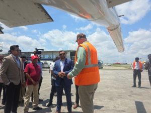
Guyana has begun the high-tech aerial mapping of its minerals over the next few years so that prospectors can make informed decisions about where to search for commercially viable deposits ranging from gold to uranium and rare earth minerals, officials said on Wednesday.
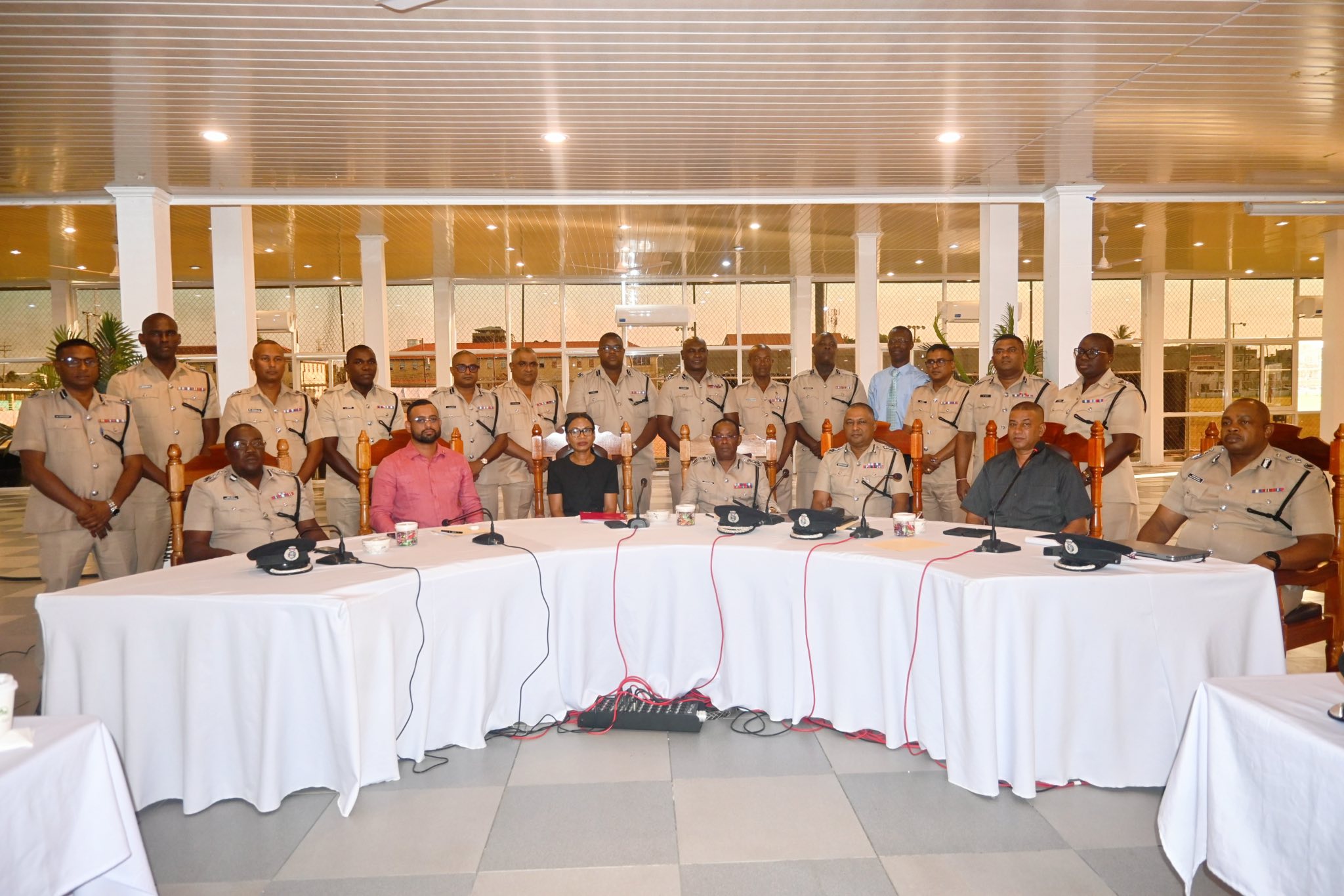
“This can be about gold but it can be about so much more. It is about an organised inventory of our mineral resources,” Commissioner of the Guyana Geology and Mines Commission (GGMC), Newell Dennison said at the formal launch of the multi-year project.
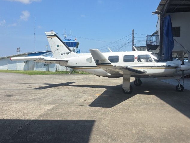
Jared Abraham, geologist and geophysicist at the United States-based Aqua Geo Frameworks said the first set of mapping is expected to be completed by December, 2025 if Guyana continues to enjoy good weather.
He explained that he and his team are putting together maps of how the different minerals and their properties are configured throughout Guyana. Stacked with advanced equipment, two aircraft are collecting data at a rate of 250 kilometres or 70 metres per second and 80 metres over the surface. He assured that the multiple sensors aboard the aircraft would not harm Guyana’s environment. “We’re not disturbing the delicate ecosystem. In one flight, we are collecting more data than you could do on the ground within a year or maybe two years without disturbing the ecosystem,” he said.
Mr Abraham also said the plan includes building Guyana’s first gravity map.
Mr Dennison said the mapping exercise would gather data about the geological and geochemistry and structural relationships of Guyana’s “massive mineralised terrains,” influence on the locations, and accessibility and availability for exploitation. He said such information would assist decision-makers in investing in areas with a great likelihood of finding commercially viable mineral deposits. “We want not to have willy-nilly adventurism into the mining estate. We want persons to be much more predictive of where they’re going to put their resources and, therefore, from our perspective be more proficient in terms of finances and of course better outcomes for our national coffers,” he said.
The GGMC Commissioner said the US$4 million aerial remote sensing would be able to fill data gaps left by geoscientists and previous prospectors.
Under the Guyana Mineral Advancement and Prospecting Strategy (GMAPS), the Takatu mountains are being targeted. The project includes training, consultations with stakeholders and validation of locally-completed geological and geochemical surveys dating back to 15 years. A GGMC official said Guyana’s last mineral inventory was conducted in 1968.
President and CEO of Global Ventures Emily King told the formal opening session that the mapping exercise entails systematic flights in precisely spaced lines over large areas to measure subtle variations in the earth’s magnetic and radiometric fields. She said those measurements help the scientists to see beneath the forest canopy and soils to understand the geology. She said good data would shorten timelines, reduce unnecessary environmental disturbances and improve outcomes, help government develop evidence-based policies and regulate efficiency, help companies target their work more responsibly and “most importantly helps (sic) companies benefit from mines of all sizes that are well-planned from the start because they have the best data available.”
Minister of Natural Resources Vickram Bharrat said the mineral mapping exercise is in line with the government’s thrust of sustainable development, viable and low-impact mining, and environmental preservation that are all features of Guyana’s Low Carbon Development Strategy (LCDS).
“This is a project that will enhance our reputation, as a country, that will enhance the mining sector, that will show greater environmental stewardship while we continue to develop our country and create opportunities for our people,” he added.
Discover more from Demerara Waves Online News- Guyana
Subscribe to get the latest posts sent to your email.