
Last Updated on Thursday, 15 October 2026, 20:55 by Written By Denis Chabrol
The area of the sunken MV Barima was located three 3 hours, 26 minutes after its Emergency Position-Indicating Radio Beacon (EPIRB) emitted a distress signal that was picked up by satellite and information relayed to the Cheddi Jagan International Airport’s control tower, based on evidence by a pilot who responded to the scene.
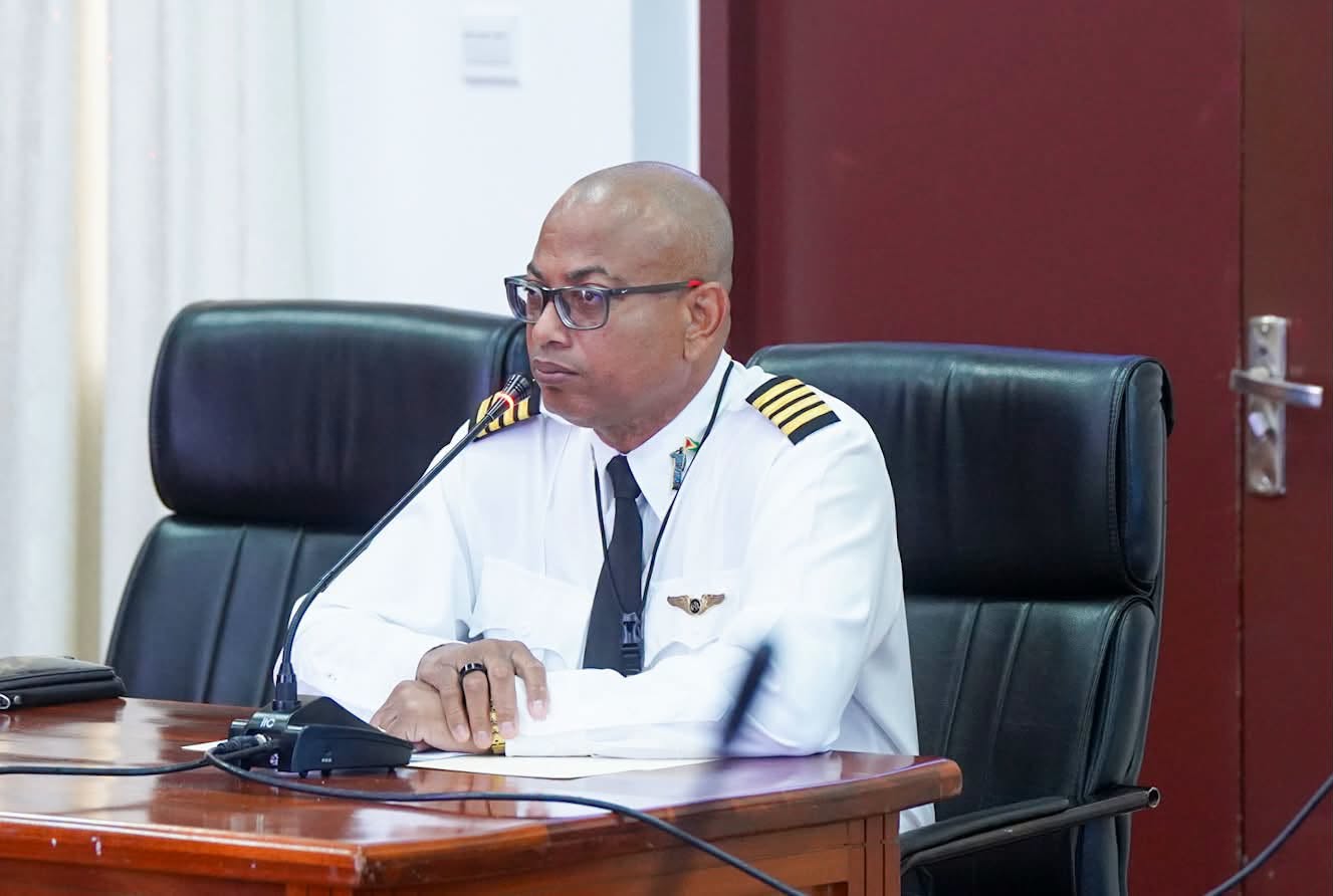
Captain Learie Barclay told the Commission of Inquiry that himself, colleague pilot Captain Gerry Gouveia Jr and Roraima Airways Manager Mr Cheung who was assigned the role of spotter departed the Eugene F. Correia International Airport with the location coordinates that were provided by the aeronautical information system centre and flew to the area.
Mr Barclay said while in the area he tuned the radio receiver to 1.5 megahertz and picked up an emergency location signal that got stronger as he got closer to the location. Shortly after, he said, Mr Leung said he saw three flares at 2:09 AM. “It became stronger. It was strongest at the point where the flares were fired,” said Mr Barclay, a former Guyana Defence Force pilot.
In earlier testimony by air traffic control personnel on Wednesday, who were on duty on July 19, the Commission of Inquiry into the MV Barima ferry disaster was told that the EPIRB was first received at 10:43 PM. The air navigation personnel said the beacon aboard the vessel was not registered to include name of owner, address and contact number.
The pilot said he received a call from Captain Gerry Gouveia Sr at 12:16 AM about the distressed ferry, left his home in Georgetown and arrived at the airport from where he and two other persons departed for the area of interest at 1:36 AM.
Mr Barclay said up to the point of spotting the flares, the occupants of the aircraft did not actually see the vessel but said there were strong indications that the ferry was in that area. Questioned by COI lawyer Arudranauth Gossai about how they had determined that they found the boat, Mr Barclay said: “Because survival gear, one of the major components of survival gear, are flares. So, if an aircraft goes down, or a boat goes down, the occupants of the vessel will fire flares to indicate their location. That’s an international symbol of distress,” he said.
The location of the flares, he said, was passed on to among others, the Maritime Administration, President Irfaan Ali and National Security Adviser Captain Gerry Gouveia Sr. The pilot also told the inquiry that the location of the flares and the EPIRB signal was three miles further offshore than that which was provided by the control tower’s AIS centre. He said that could have been due to drifting. He added that, according to his software, the flares were seen about 4.9 nautical miles from where the boat was found.
He said the aircraft was not equipped with equipment to detect persons. “We didn’t have things like a forward-looking infrared or so on that could have detected the warm bodies swimming or floating underwater, holding onto something and so all we could see were flares at night. That’s all we were capable of doing,” he said.
On their way back to the Eugene F. Correia ‘Ogle’ International Airport, Mr Barclay said they were informed that persons were being rescued.